Marine communication, Marine Navigation, Navcom, Navcom service provider
HYDROGRAPHIC SURVEYING AND CHARTING
08
Jan
Jan
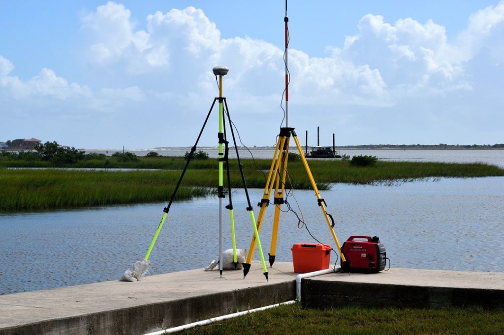
Hydrographic Surveying and Charting Services by SEANAV Hydrographic surveying and charting help make marine travel safer. These services measure the underwater landscape, water depth, tides, and more. At SEANAV, we offer reliable hydrographic solutions. These are perfect for ports, offshore structures, dredging, and environmental work. What Is Hydrographic Surveying? Hydrographic surveys collect data from oceans, […]