

Inertial Navigation Systems (INS) are advanced navigation technologies that help vessels, aircraft, and vehicles determine their position, orientation, and velocity without relying on external signals. These systems are crucial in environments where GPS is unavailable or unreliable, such as underwater operations, military missions, or deep-space navigation. At SEANAV, we offer high-performance INS solutions trusted across commercial, defense, and research sectors.
What Is an Inertial Navigation System?
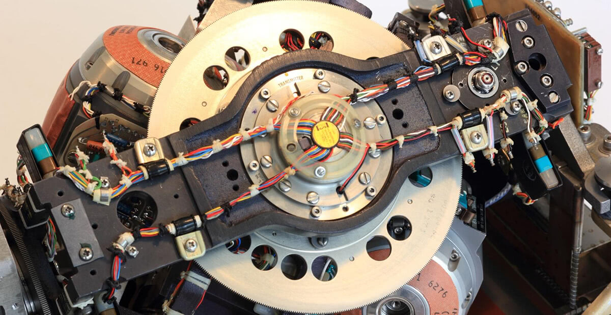
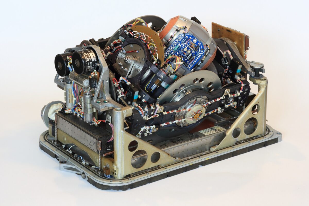
An INS works by using accelerometers and gyroscopes to measure the forces and rotation affecting a vehicle. These measurements are processed by advanced algorithms to estimate the object’s current location and trajectory. Because INS doesn’t require satellites or external references, it’s a reliable backup to GPS and an essential tool in critical operations.
Key Features of SEANAV’s INS Solutions
- GPS-Free Operation: Delivers accurate navigation in GPS-denied areas like tunnels, oceans, or battlefields.
- High Precision: Utilizes MEMS or fiber optic gyroscopes for precise data.
- Real-Time Processing: Instant output of position, speed, and heading data.
- Integration-Ready: Easily interfaces with autopilot systems, radars, sonar, and marine software.
- Robust Housing: Rugged and waterproof design for maritime and military deployment.
Applications of INS in the Marine Industry
In marine environments, INS systems are used in submarines, unmanned underwater vehicles (UUVs), autonomous surface vessels (ASVs), and survey ships. These systems offer a continuous stream of data, even when satellite links are lost. For commercial ships, this means smoother operations and better data logging. For defense, it means enhanced mission accuracy and tactical advantage.
FAQs – Inertial Navigation Systems (INS)
1. What is an INS?
An INS is a self-contained system that calculates position and movement using accelerometers and gyroscopes.
2. Is INS better than GPS?
INS is not a replacement but a complement to GPS. It works without external signals, making it ideal as a backup.
3. Where is INS used?
It is used in ships, submarines, drones, aircraft, and spacecraft for navigation and orientation.
4. Does SEANAV provide marine-specific INS?
Yes, we supply INS units optimized for harsh marine environments.
5. Can INS integrate with radar or sonar?
Yes, SEANAV’s INS systems support integration with radars, sonar, and ECDIS systems.
6. How accurate are your INS solutions?
Our INS devices offer sub-meter precision and drift control, depending on the model.
7. What is the difference between MEMS and FOG INS?
MEMS is cost-effective and compact. FOG offers higher accuracy and stability.
8. Can INS work underwater?
Yes, INS is essential for underwater navigation where GPS cannot reach.
9. Is real-time data available?
Yes, SEANAV INS units provide real-time data output for immediate decision-making.
10. What power does it require?
Most units operate on 9–36 VDC and can be customized for power management.
11. Does SEANAV offer support and training?
Absolutely. We provide full technical support and training on INS operation and maintenance.
Why Choose SEANAV’s INS Solutions?
SEANAV is a leader in providing navigation and communication technologies. Our Inertial Navigation Systems are built to meet the most demanding conditions, offering unmatched performance, integration options, and long-term reliability. Contact us today to find the right INS for your vessel or operation.
