Marine communication, Marine Navigation, Navcom, Navcom service provider
HYDROGRAPHIC SURVEYING AND CHARTING
Jan
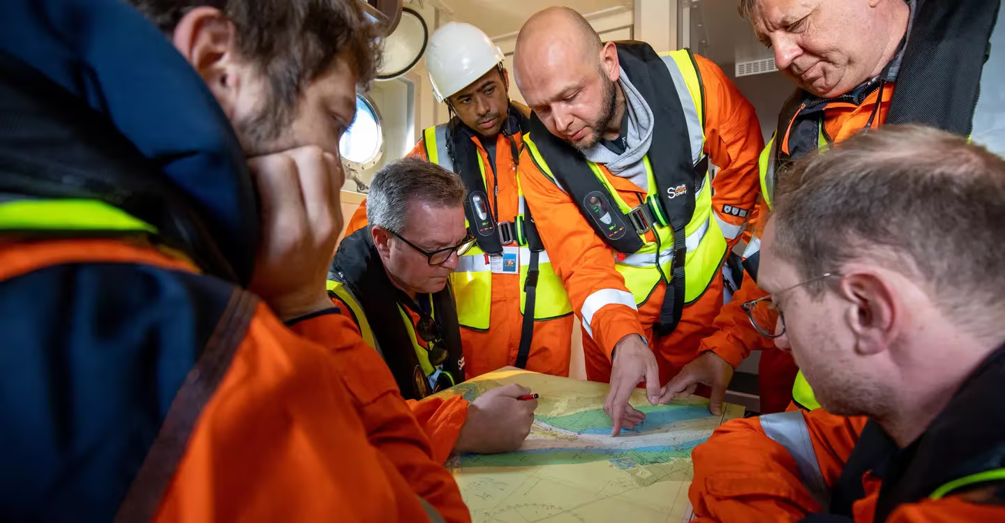
Hydrographic Surveying and Charting Services by SEANAV
Hydrographic surveying and charting help make marine travel safer. These services measure the underwater landscape, water depth, tides, and more. At SEANAV, we offer reliable hydrographic solutions. These are perfect for ports, offshore structures, dredging, and environmental work.
What Is Hydrographic Surveying?
Hydrographic surveys collect data from oceans, seas, and rivers. This includes depth, seabed shape, and underwater features. The goal is to make safe navigation charts. These charts help ships avoid danger and plan safe routes.
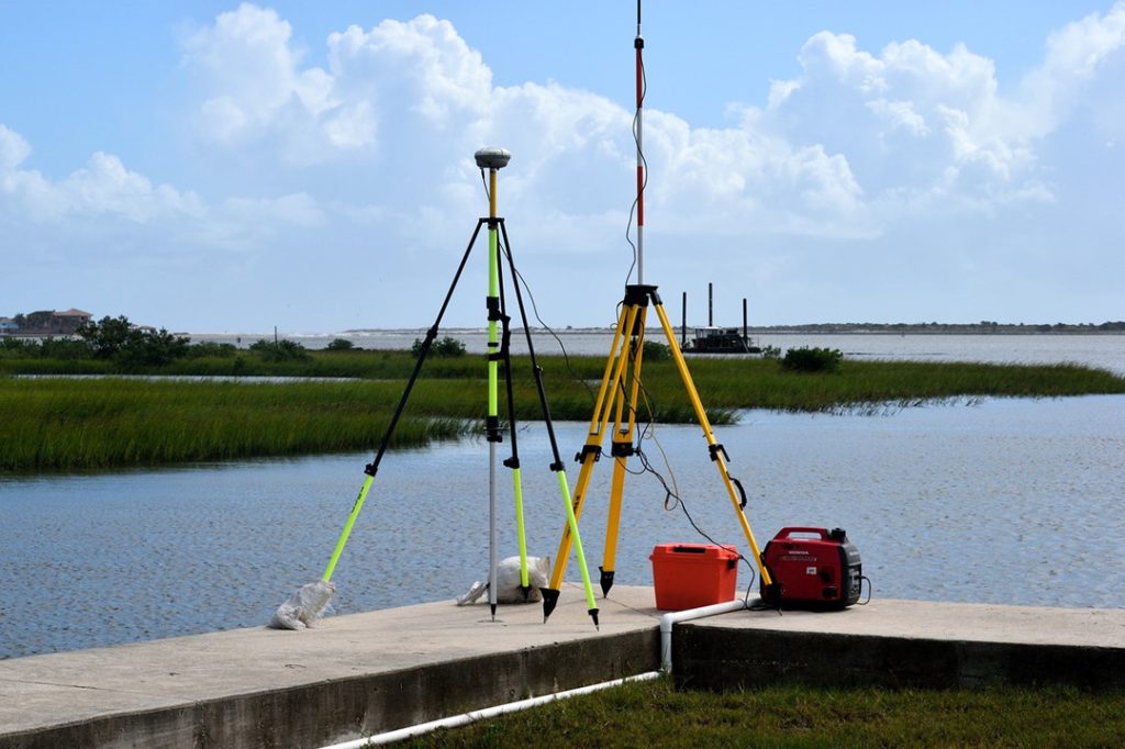
Our Hydrographic Services
- Multibeam and single beam echo sounder surveys
- Side scan sonar imaging
- Bathymetric charts and mapping
- Tide and current measurement
- Sub-bottom profiling
- GPS and DGPS positioning
Where Our Services Are Used
Hydrographic data supports many industries. These include port construction, marine navigation, dredging, offshore energy, and environmental studies. Therefore, accurate surveys are very important. With better data, projects run more safely and smoothly.
Why Choose SEANAV?
- Skilled surveyors with years of experience
- Advanced tools and software
- Compliance with IHO and IMO standards
- Quick results and full reporting
Frequently Asked Questions (FAQs)
1. Why do we need hydrographic surveying?
It helps create safe sea routes and supports marine projects by showing what’s under the water.
2. Which industries use this service?
Ports, shipping, oil and gas, dredging, and environmental projects all need hydrographic data.
3. What tools are used in a survey?
We use echo sounders, sonar, GPS, tide gauges, and mapping software.
4. Are your surveys accurate?
Yes. Our results follow IHO standards and are very precise.
5. Can you do offshore surveys?
Yes, we handle both offshore and coastal projects.
6. Do you offer bathymetric maps?
Yes, we provide clear and detailed bathymetric maps.
7. Is your work eco-friendly?
Yes. We gather environmental data and support eco-safe operations.
8. How long does a survey take?
It depends on the site. Small jobs can take a few days, while large ones may take longer.
9. What kind of report do you give?
You will receive maps, charts, and data files in formats like CAD and GIS.
10. Can you help with dredging?
Yes, we provide pre- and post-dredging surveys and volume calculations.
11. How can I get a quote?
Just visit our contact page or email info@seanav.com. We’ll reply quickly.
Conclusion: SEANAV’s hydrographic services help you understand the underwater world. Whether you’re building a port or planning a marine route, we provide the data you need. Contact us today to get started.